
 Suomi
Suomi


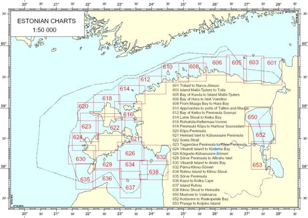
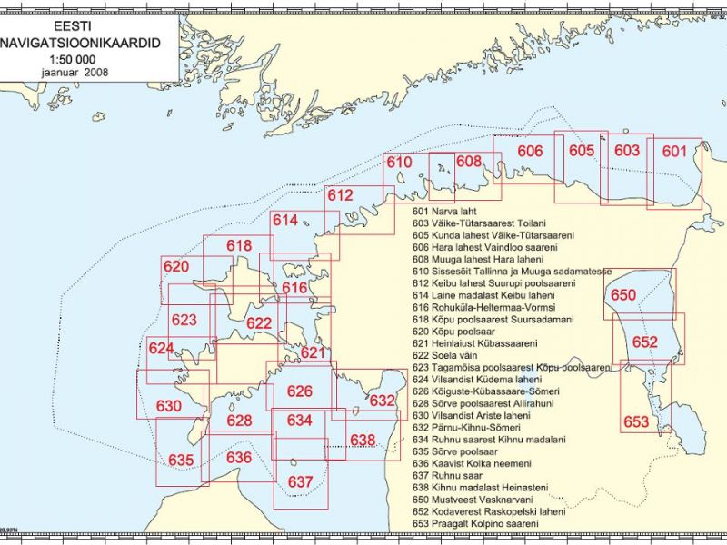
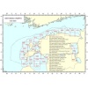
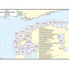
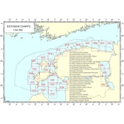
Chart compiled by Estonian Maritime Administration. It provides the user with the information on the nature of the coast and sea bed, water depths, main aids to navigation and landmarks, port approaches, marine hazards etc. Scale 1 : 50 000, Size: 957.9 x 688.2 mm. Peninsula Kõpu to Harbour Suursadam.
| unit |
|---|
Related products
Sale!
Original price was: 89,90 €.79,99 €Current price is: 79,99 €.
64,00 €