Suomi
Suomi

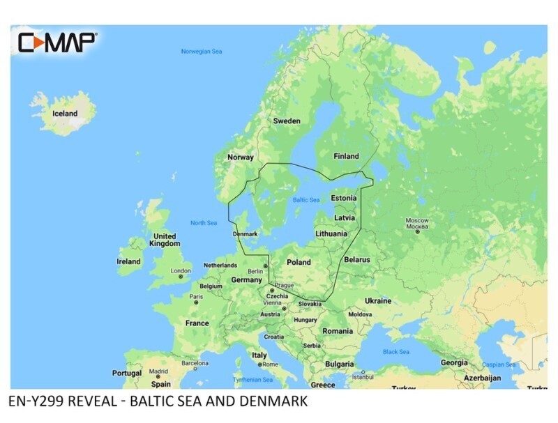
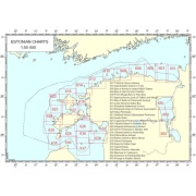
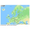
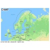
ELECTRONIC NAVIGATION CHART REVEAL- BALTIC SEA AND DENMARK
246,76 €
C-MAP® REVEAL™ charts offer an innovative, shaded relief view of the seabed. They also include aerial photos, satellite imagery, and dynamic raster maps. It also includes all the other features found on C-MAP DISCOVER charts: vector charts, tides, and the free Easy-Routing feature. The chart also includes high-resolution bathymetric charts and user-created Genesis charts. Map updates are available free of charge for 12 months after purchase. The map works with Lowrance, Simrad, and B&G chartplotters.
Available on backorder
C-MAP® REVEAL™ charts offer an innovative, shaded relief view of the seabed. They also include aerial photos, satellite imagery, and dynamic raster maps. It also includes all the other features found on C-MAP DISCOVER charts: vector charts, tides, and the free Easy-Routing feature. The chart also includes high-resolution bathymetric charts and user-created Genesis charts. Map updates are available free of charge for 12 months after purchase. The map works with Lowrance, Simrad, and B&G chartplotters.
Related products